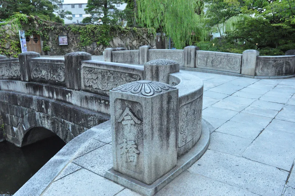
Walking itinerary
Photograph the canal and historic streets — about 2 hours
An outdoor photo walk for the river, bridges, white walls, red brick and townhouses. The Ohara Museum is an exterior photo stop only.
Times are estimates and vary with walking pace and crowds.
- Time
- About 120 mins
- Transport
- On foot
- Stops
- 9
- Standard start
- Imahashi Bridge
- Standard finish
- Achi Shrine
- Walking
- 28 mins / 2100 m
- Viewing
- 85 mins
What this course includes
- Base course
- 9 · About 120 mins
- Optional stops
- 0
- Included
- No admission
- Not included
- Food, shopping and optional admission
- Imahashi
- Ohara Museum exterior
- Nakahashi
- Archaeological Museum
- Kurashiki-kan
- Takasago Bridge
- Ivy Square
- Honmachi
- Achi Shrine
Honmachi, Higashimachi and riverside are route segments, not facilities.
The approach to Achi Shrine includes stairs.
Stair-free alternative: To avoid the shrine steps, omit Achi Shrine and return from Honmachi toward Kurashiki Monogatari-kan. This is not guaranteed step-free.
Photo themes: River and bridges / White and namako walls / Red brick / Townhouses and lanes / Townscape from above
Selected total time: About 120 mins
START → GOAL
Walk in this order
Stop times and distances between points are estimates. Check opening information for each facility.
START
Imahashi Bridge
Photo stop
Time at stop 6 mins
KuraWalk estimate
No admission
View place detailsOpen in Google MapsAbout 60 m straight-line to the next stop
STOP 2
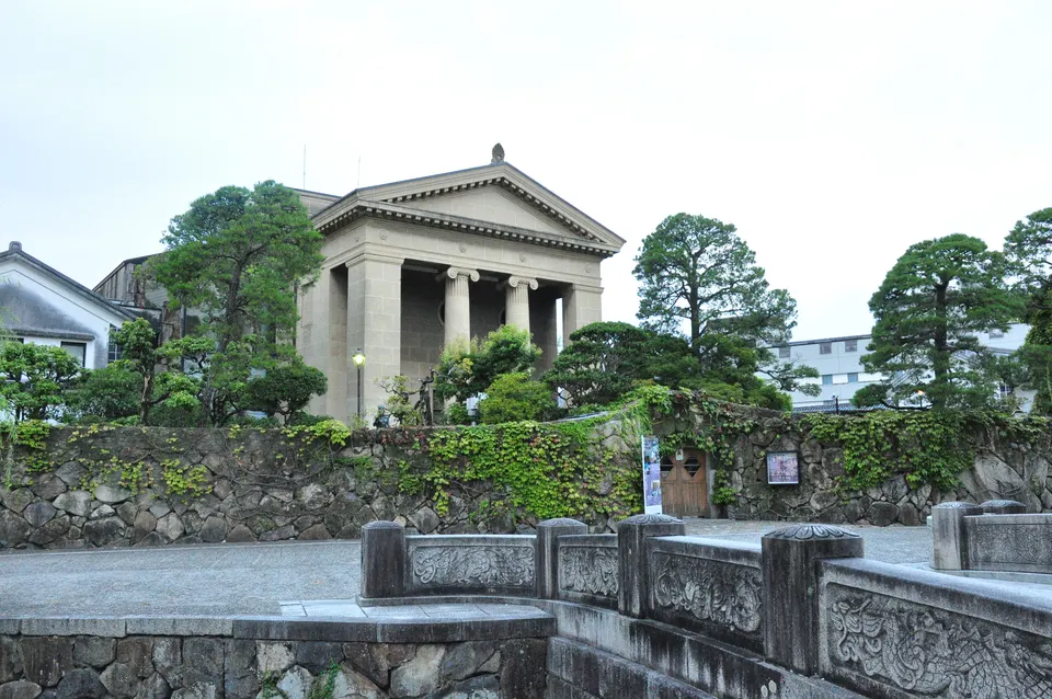
Ohara Museum of Art
Photo stop
Time at stop 8 mins
KuraWalk estimate
No admission
View place detailsOpen in Google MapsAbout 130 m straight-line to the next stop
STOP 3
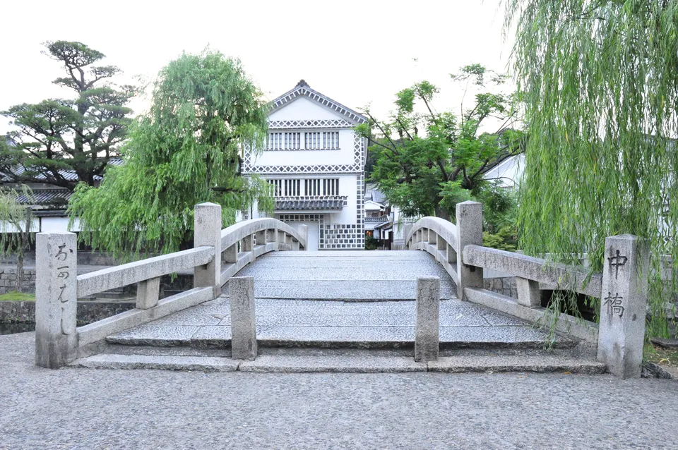
Nakahashi Bridge
Photo stop
Time at stop 8 mins
KuraWalk estimate
No admission
View place detailsOpen in Google MapsAbout 20 m straight-line to the next stop
STOP 4
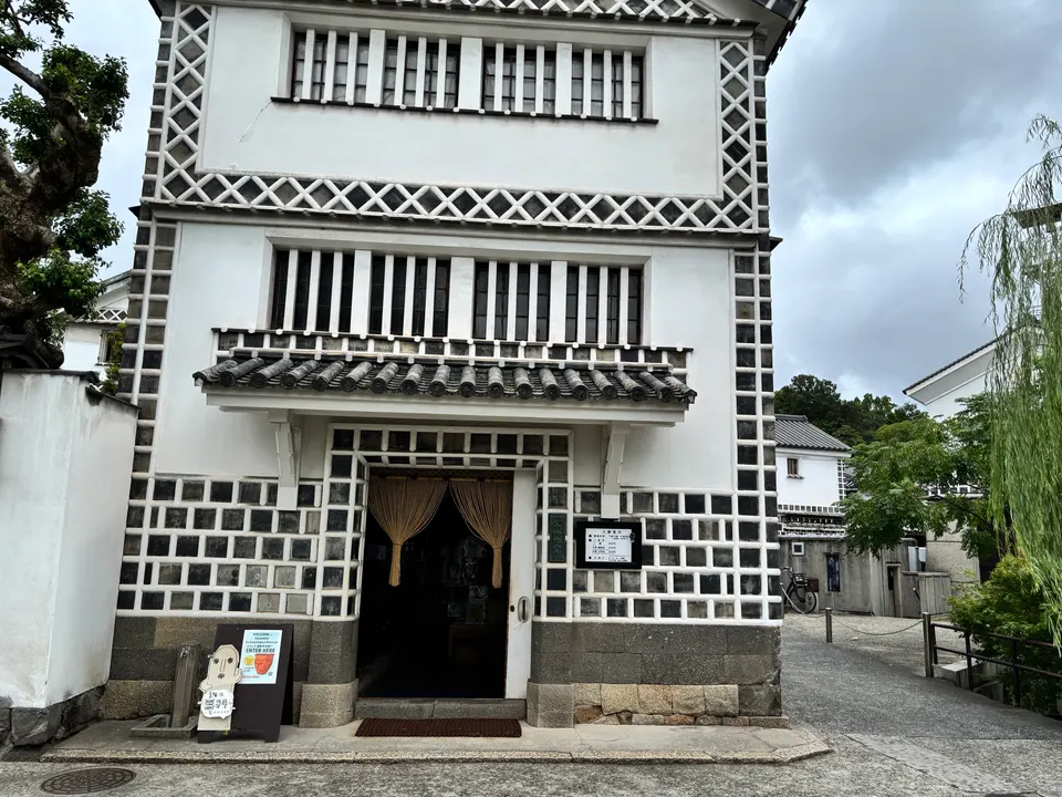
Kurashiki Archaeological Museum
Photo stop
Time at stop 8 mins
KuraWalk estimate
No admission
View place detailsOpen in Google MapsAbout 40 m straight-line to the next stop
STOP 5
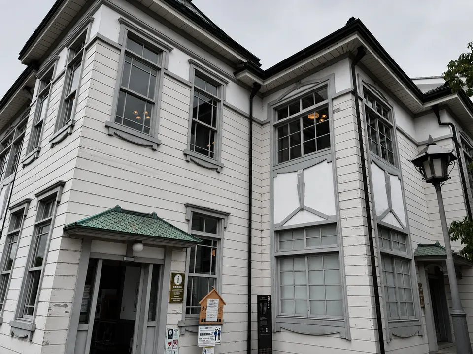
Kurashiki-kan
View exterior
Time at stop 6 mins
KuraWalk estimate
No admission
View place detailsOpen in Google MapsAbout 150 m straight-line to the next stop
STOP 6
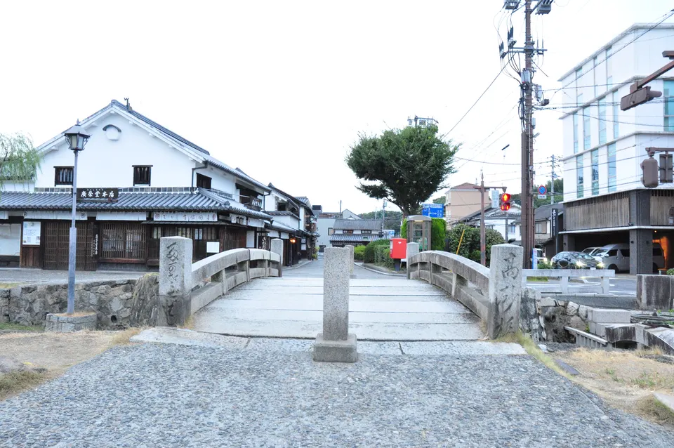
Takasago Bridge
Photo stop
Time at stop 6 mins
KuraWalk estimate
No admission
View place detailsOpen in Google MapsAbout 160 m straight-line to the next stop
STOP 7
Kurashiki Ivy Square
Photo stop
Time at stop 15 mins
KuraWalk estimate
No admission
View place detailsOpen in Google MapsAbout 230 m straight-line to the next stop
STOP 8
Inoue House
View exterior
Time at stop 8 mins
KuraWalk estimate
No admission
View place detailsOpen in Google MapsAbout 150 m straight-line to the next stop
GOAL
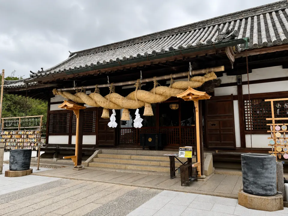
Achi Shrine
Photo stop
Time at stop 20–30 mins
KuraWalk estimate
No admission
View place detailsOpen in Google Maps
Sources and check date
Checked 2026-08-13
Connections show approximate positions, not walking directions.Checked2026-08-13